Get there without giving up what’s around you.
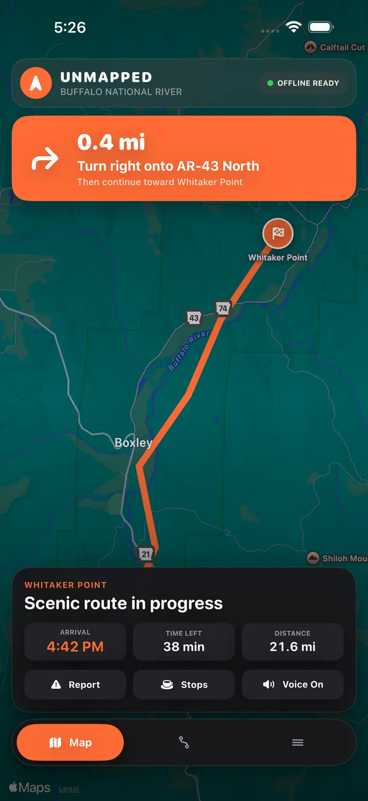
Use turn-by-turn road navigation, then find fuel, food, rest stops, trailheads, or other useful places that make sense for the route ahead.
In development for iPhone
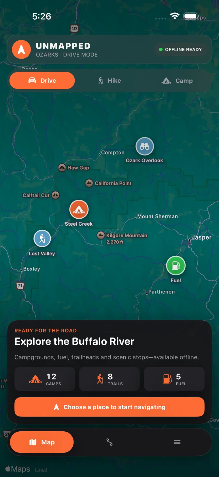
Plan the drive, find campgrounds, and explore trails with downloaded maps. Unmapped brings these tools together while keeping your saved trips and notes on your device.
Interface preview. Features and appearance may change during development.
Planning a trip can mean checking road maps, campground directories, agency maps, and weather pages separately. Unmapped is designed so the same trip can live in one place from the first route search to the last trail mile.
Start with familiar road navigation, then keep the same trip context when the pavement ends instead of rebuilding your plan in another app.
Campgrounds, public land, trails, topographic detail, useful stops, and conditions make more sense when they’re shown in relation to your actual route.
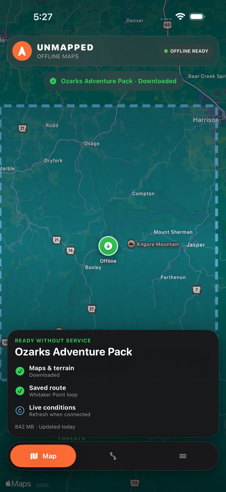
Download topographic maps for your chosen area before leaving coverage. Saved place listings are available when included successfully in the download.
Plans, stops, saved places, tracks, notes, and trip history belong together so you can actually come back to the adventure later.
Unmapped is being built around local storage, optional contributions, and local trip storage instead of requiring your personal travel history to power the product.
Unmapped stays familiar on the road, then brings in the outdoor information that becomes useful as you get farther away from town.

Use turn-by-turn road navigation, then find fuel, food, rest stops, trailheads, or other useful places that make sense for the route ahead.

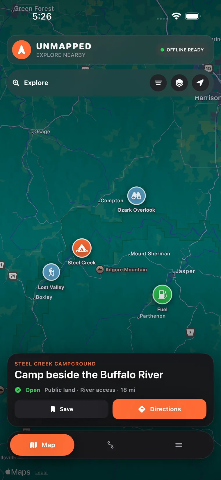
Browse camping options and turn on the land context you care about on the same map. Land boundaries do not grant camping permission; check the managing agency’s current access and camping rules.

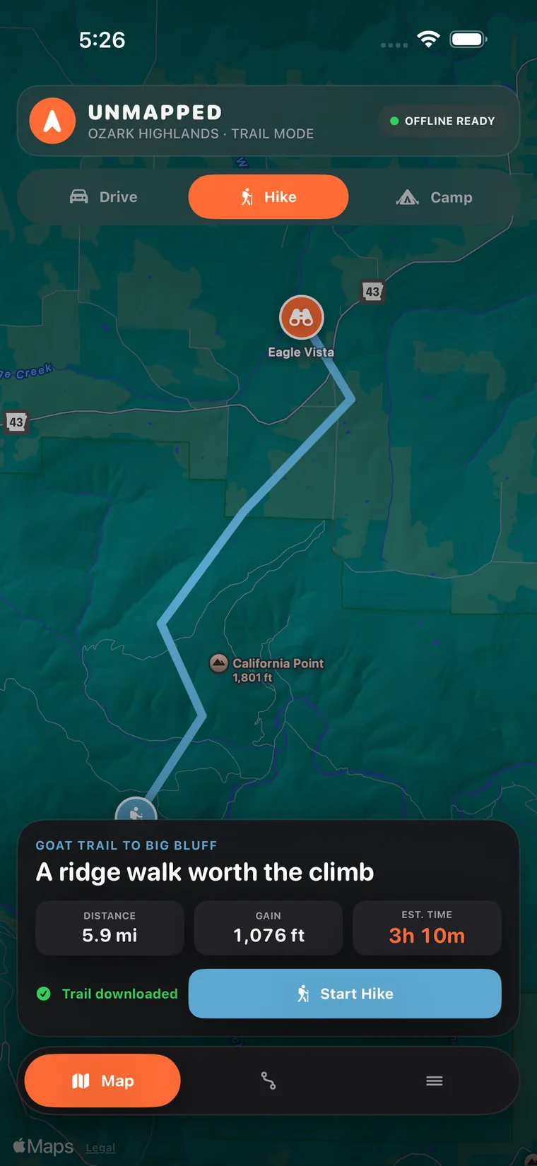
Bring up topographic detail, trails, elevation, and saved tracks when the trip moves onto a backroad or trail. Record where you went and keep the useful map with you.

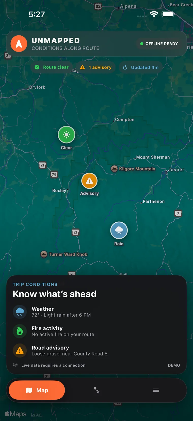
Weather and wildfire context are most useful beside the route, campsite, or trail you’re considering. Fresh weather and fire information require a connection; saved information may be out of date.
Each tool is there because it answers a real question you run into while traveling somewhere less predictable than a city street.
Download topographic maps for a selected area and level of detail. Check that the download is complete before leaving coverage.
Browse camping options and useful amenities directly on the map instead of hunting through separate directories.
See BLM, Forest Service, National Park, and other land context while you explore.
Keep plans, places, notes, route history, and trail activity together so the app is useful before, during, and after the trip.
Find useful places ahead without getting sent backward or miles away from the route.
See active fire context before a remote road or campsite becomes a bad surprise.
Switch to terrain-focused mapping when street maps stop telling the whole story.
Choose whether to collect and share signal measurements. Uploaded reports include precise coordinates, observation times, and signal details.
Download topographic maps while connected, then view them within the saved area and level of detail. Place listings are available offline only when they were successfully included in that download.
Saved trips and notes are stored on your device. If you choose to submit coverage measurements or roadside reports, location data in those submissions is sent to and stored on our servers.
Coverage reports include precise coordinates, observation times, and signal details. You can upload them manually or enable automatic uploads. Roadside reports include the reported location and the details you submit.
Online searches, directions, and map requests also contact the services that provide them. This website uses Cloudflare analytics; beta applications are collected through Google Forms.

Unmapped is in development for iPhone. Apply to test it on real trips and help us improve it. Access is selective; chosen testers receive beta details and a confidentiality agreement before joining.